


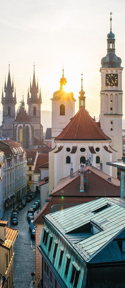
The oldest canals in the city – Amsterdam is the only ancient city in the world where the medieval center is not a museum but a Red Light District. Already in the Middle ages, drinking houses were established around the first harbours in the city. The first brothels here were opened in the 15th century, mainly in the Warmoesstraat and the alleys around it. But along the first canals in the area, rich merchants and regents established residence.

Herengracht (Gentlemen’s Canal) – The Herengracht is considered to be the most important canal in Amsterdam. In the 17th century, the richest merchants, the mayors and the most influential regents of the city resided on this canal. An adress on the Gentlemen’s canal is still considered to be prestigious. The official residence of the mayor of Amsterdam is on this canal at nr. 502.
Keizersgracht (Emperor’s Canal) – The Keizersgracht is the middle one of the three main canals of the city. It was named after emperor Maximillian of Austria. The canal is 31 metres wide, which makes it the widest canal in the city center. Digging this canal started in the year 1612, simultaneously with the Gentlemen’s canal and Prince’s canal. Originally a wide boulevard without water was planned here, but the future residents wanted a canal in front of their houses, so they could reach their house by boat.

Prinsengracht (Prince’s Canal) – The Prinsengracht is the third and outermost of the three main canals of Amsterdam. Together these three canals form the “Fourth outlay” of the city, an extension project that was started in 1612 and completed 50 years later. It made the city four times as big as it was when the project was started. During the 17th century the population of the city grew from 50.000 to 200.000, which made Amsterdam die 3rd biggest city in the world, after London and Paris.
The History of the canals – The city was founded around 1250 with the building of die Dam that gave it its name. ’Aeme Stelle Redamme’ is Medieval Dutch for: ‘Dam in a Watery Area’. The first canals were dug for water management and defence. As the city expanded in the Middle Ages, successive defence moats ended up inside the walls and lost their function. But they acquired an important new one: local transport of merchandise. The Dam is still there as the heart of the city. But today this former barrier between the River Amstel and the “Southern Sea” is one of the few places in the center of town that you cannot sail a boat to. The last part of the river leading to the dam fell victim to land-traffic in 1922. The street that came in its place is still called ‘Damrak’, which is Dutch for: “Last section of the river, leading to the Dam.” Today, a subway line is being built in the old riverbed.