‘A PART FROMITS UNIQUE biodiversity, Madagascar is also known for its bad roads.’ So says local tour guide Dennis Rakotoson, climbing into the jeep. He is not smiling. With less than 20 per cent of its road network asphalted, getting from A to B in Madagascar is rarely straightforward. Google Maps will tell you that it’s a three-hour journey from Kirindy up the 8a road to Bekopaka, some 100 miles north Google Maps is wrong – very, very wrong – but neither does it tell you that a day travelling the route is at least as exciting as a day in the forest with a family of lemurs.
For the most part, the 8a is more rutted mud track than road. It soon leaves behind the paddy fields surrounding the Avenue des Baobabs, their neat, green lines ploughed by zebu, trailed by squabbling ducks. The landscape becomes drier, the bushes lining the verge covered in sand thrown up by passing vehicles, as though someone has dumped a bucket of orange powder over them. Large patches of blackened earth still smoulder from recent forest clearings.

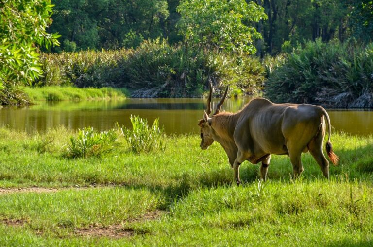
In the early morning, kids idle along the 8a on their way to school, kicking footballs in the dust. Women in bright skirts march between villages, bundles of maize or firewood balanced on their heads, and their faces covered in a paste made from tamarind bark, to keep off the sun. Families do their laundry in shallow streams, their clothes drying on the banks, or bump along on wooden carts, behind the camel-like humps and long horns of slow-plodding zebu. ‘The Malagasy are so attached to their zebu,’ says Dennis, leaning on the dashboard as the jeep negotiates one of many potholes the size of paddling pools. ‘They are used for transportation and in the fields, of course, but also in rituals, burial ceremonies and medicine. If you rub the oil from their humps into your skin, you will get very strong.’
At the midway point of the journey, the road stops, cut off by the great brown slug of the Tsiribihina River, Jeeps are manoeuvred gingerly down planks onto Heath Robins on-style ferries, seemingly made from random bits of metal roped together. Everyone on board, they chug past people in hand-carved wooden canoes on the hour-long journey to Belo sur Tsiribihina on the opposite bank. By the early afternoon, the town’s market is in full swing, and traders sit beside piles of sweet potatoes, sugarcane, dried red chillies, fried shrimps and fatty zebu humps, waving large flies away from their goods with their hands. ‘The road gets a little worse from here,’ says Dennis, as the 8a heads out of town. It is partially collapsed in places, weaving and dipping a new course around fallen trees and waterlogged craters.

As the intense heat of the day starts to fade, activity is stepped up in the roadside villages. Men cut earth into bricks, or scythe reeds for building, while their wives rhythmically pound rice with poles in giant mortars, Turkeys waiting expectantly beside them. Children race out to every passing vehicle and peer inside, practicing their foreign-language skills with polite requests for pens or bonbons. By the time the jeep pulls into the last stop at Bekopaka, via a final river crossing and many stops to let a brightly coloured giant coua bird, herd of goats or nervous chameleon cross the road, the sun has started to set through the mangrove trees. The journey along the Sahas taken over 11 hours, but, perhaps, it wouldn’t be so bad to turn around and do it all again.