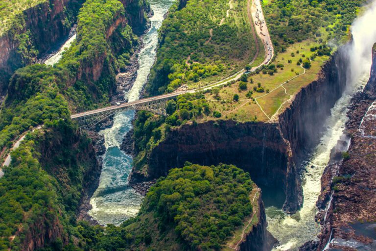
JUST BEFORE IT REACHES THE Pacific Ocean, the Liwu River welcomes its last tributary: the Shakadang. It curves under a red bridge to pour its uncannily blue waters into the Liwu. The current it joins is a churning slate grey, a hint of the power that has carved out the most impressive valley on the island: Taroko Gorge. The highest peaks here top 3,000 metres, and the plunge to the ocean is swift. 
In the mountains beyond the Shakadang Trail are two tiny communities of Taiwanese aborigines: the indigenous inhabitants of the island. Their ancestors are thought to have been the origin of the world’s Austronesian peoples, who fanned out across islands as far apart as Madagascar, New Zealand and Hawaii. Members of the Truku tribe, which once inhabited the area around Taroko Goige, helped blast many precipitous routes out of the rock in the early 20th century.
Beyond the foot of the Shakadang Trail. Highway 8 leads upriver through the park. It’s one of the very few roads crossing the mountains of Taiwan’s interior. Just before the gorge gets truly vertiginous at the Swallow Grotto Trail, there’s a roadside stall where visitors are encouraged to borrow hard hats in case of falling debris from the cliffs. The landscape is the result of a contest between the rock being thrust up by tectonic plate movements and water bearing ever downwards, Taroko Gorge only gets deeper. In the 16th century, Portuguese sailors passing Taiwan named the island Formosa (‘Beautiful’), a name which stuck in the West until modem times. Taroko Gorge and the Qingshui Cliffs on the seaward side of the national park are Exhibit A. On a hillside on the way to the cliffs, Dajili Tribal House is a restaurant serving Taiwanese aboriginal cuisine and also the studio of Truku elder and artist Wen Gui Guo.

‘I make sculptures from driftwood I find after typhoons’, he says. His paintings are still-lifes of flowers and landscapes easily inspired by a studio that looks out onto both mountain and ocean. ‘In my paintings I try never to have houses or bridges, only big nature’, he says. ‘If you include man-made things in a landscape, your eyes are drawn to them and you don’t think of the natural beauty.’ Then with an apologetic glance at the vase of flowers on the canvas behind him, he adds: ‘You need a vase there as the cut flowers have to have something to stand up in. At least it’s made from earth.’
It’s easy to take his point in the national park, where some of the most photographed scenes include an artfully placed pavilion or small temple. At Changchun Shrine, a veil of water cascades from under abridge into the Liwu River. A small belltower is just visible above the treetops. Reached by a rope bridge and a steep walk, it sees few visitors. A staircase inside leads to a balcony, looking out over a great bend in the river. A rope hangs loose beside the bell, waiting for pilgrims to sound it. When the bronze boom echoes out, it fills the valleys for a long moment, then all is peaceful again.
