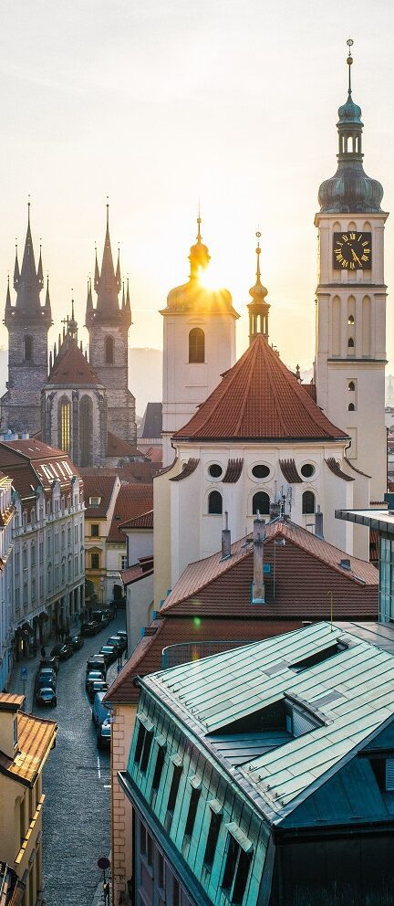
I spent a few days climbing up to viewpoints above deep-blue Lake Wakatipu and taking the gondola up to Bob’s Peak to look over the Remarkables Range. But it is when night falls that Queenstown really comes into its own. Once a scruffy collection of backpacker drinking dens, today Queenstown is all chic bars and boutique restaurants. I ate local seafood overlooking the lake, drank New Zealand pinot noir by a roaring fire and even sipped cocktails from ice-sculpted glasses at Minus 5° ice bar. And of course I embraced those adventure sports too.
Anyone returning home from New Zealand must have a story of derring do and for me it was the Shotover Jet, a high-adrenaline jetboat ride on the Shotover River. This shallow waterway, the colour of a raspberry Slush Puppy, is hemmed in by craggy rock walls carved out over time by a fierce stream of meltwater from the Southern Alps. With the accelerator floored, the driver whizzed us past the canyon walls, their craggy edges smoothed out by our peripheral vision, and then brought into pin-sharp clarity as the boat pulled tight turns. It was breathtaking in every sense and for the first time 1 didn’t feel belittled by the bungy jumpers shrieking as they bounced nearby; I was merely dwarfed by the towering scenery.
HEAD FOR THE HILLS – However, those lofty canyon walls were soon to seem Lilliputian. It was time to swap Queenstown’s craziness for something more naturally wild. Starting early on a misty morning, I boarded a bus for the Routeburn Shelter, the track’s trailhead. I passed the two-hour drive by swapping tips with other hikers, discussing how much food we had (you must be entirely self-sufficient on the trail) and how long we planned to be on the track. Some of my bus-mates were going to walk the Routeburn in two days; Kiwis Riley and Ethan – walking the track for a second time -reckoned it was an easy route that could be bounded across quickly. But I wanted to spend the more usual three days crossing the southwestern wilderness so I could soak up the scenery.
I let the others walk on ahead and soon I was alone on the trail, strolling through beautiful beech forest alongside the eponymous Route Burn on a wide, well-formed path. It was a simple hike and I ate up the kilometres to the first moderate climb towards Bridal Veil Stream. This part of the trail was thick with vegetation, disturbed only by the odd kaka, a large parrot endemic to New Zealand’s forests. Large ferns clumped the riverbed and moss clung to the tree trunks.

All around was green – and wet. It is the water that formed this landscape in the first place and it continues to stamp its mark today, dripping off beds of moss, gushing over rocks and dropping into rocky crevices. It was a constant lyrical backdrop. It is also a constant challenge. The Department of Conservation maintains the Routeburn Track and much of its work is in tackling the water’s impact on the landscape. In places the DOC has built bridges to help hikers across the river, and on day one I found myself crossing the Route Burn on swing bridge after swing bridge.
On my first crossing I was nervous – from a distance the bridges appeared to be nothing more than a few strands of rope and wire strung between two wooden gates. But up close I realised they were sturdy constructions, with substantial planks underfoot and hardy netting on either side. Soon they became part of the fun and I found myself bouncing across them with gusto.
As the path crisscrossed the valley the mist began to clear; as I passed the Routeburn Flats (site of the first hikers’ hut) I started to see the Southern Alps looming above. I craned my neck and squinted up at their peaks, not quite believing that I’d soon be up there too. For much of day one the path had been cloaked in forest but at Emma Creek a landslide had cleared the beech trees from around the track. Here, I could look out over the flats, along the Routeburn River, now far below, and across to vast, triangular peaks covered in a tufty green blanket of trees.